First Activator of Storkluken (LA/ST-327)
Again I had a 9 km hike up to the summit of Storkluken (LA/ST-327) and after 23 QSOs I also got the "First Activation" badge. The weather started out great, but after a while threatening clouds gathered in the horizon and it started to snow.
This was my second attempt to activate Storkluken (LA/ST-327), after my four-legged friend couldn’t make it all the way up on our first try. This time, I went alone, with a 4.5 km hike to the summit after a 1.5-hour drive.
The weather started out beautifully—clear blue skies and a brisk 4°C. I was in high spirits as I parked my car and stepped into the sunshine. But while packing my gear, I realized I’d forgotten my windbreaker jacket! Even though the weather was pleasant at that moment, I knew worse conditions were on the way. Still, I wasn’t ready to give up, so I threw an extra blanket from the car into my backpack and set off.
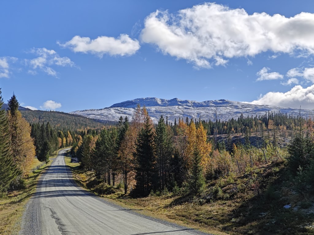
Nice and sunny weather.
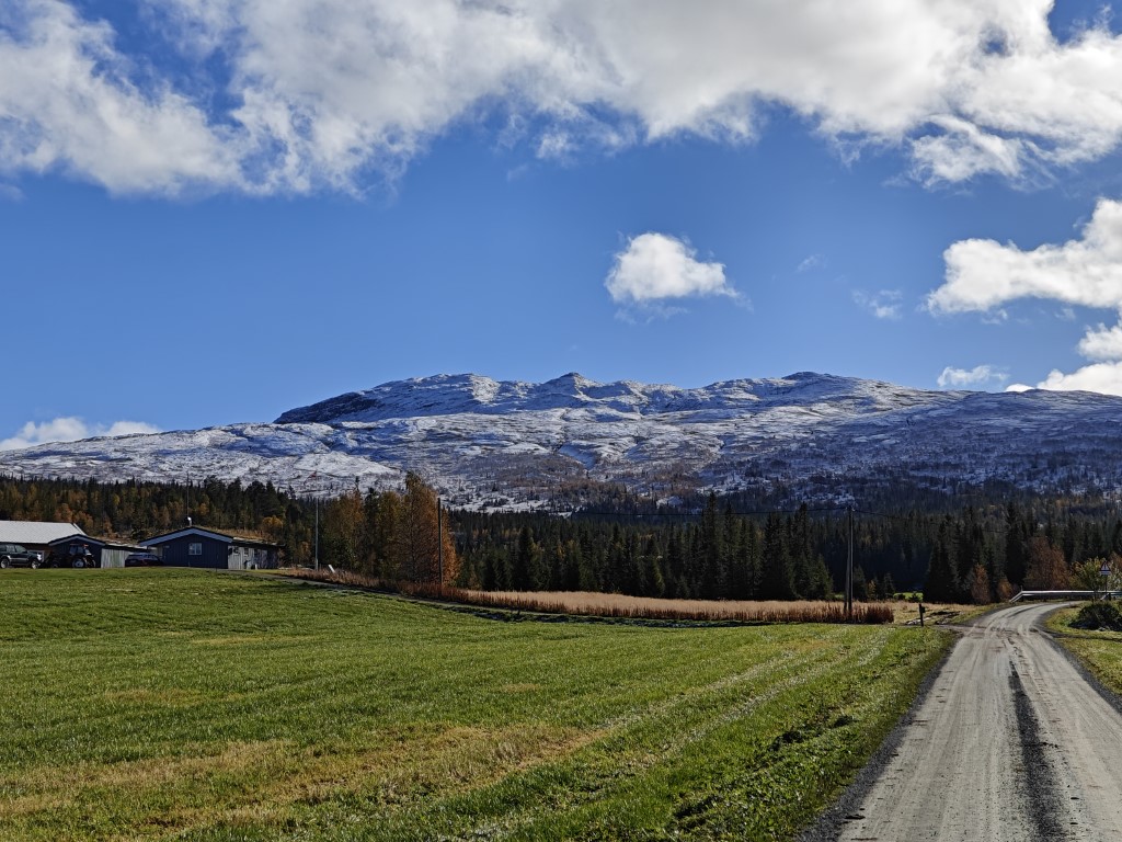
That is the destination. All the way up into the snow.
The hike began on a gravel road leading up to a cabin. As I walked along this forest road, more and more snow gathered on both sides. It wasn’t a heavy snowfall, but it was evident that the trees and bushes weren’t ready for snow so early. Colorful autumn leaves mixed with the white snow made for a beautiful sight.
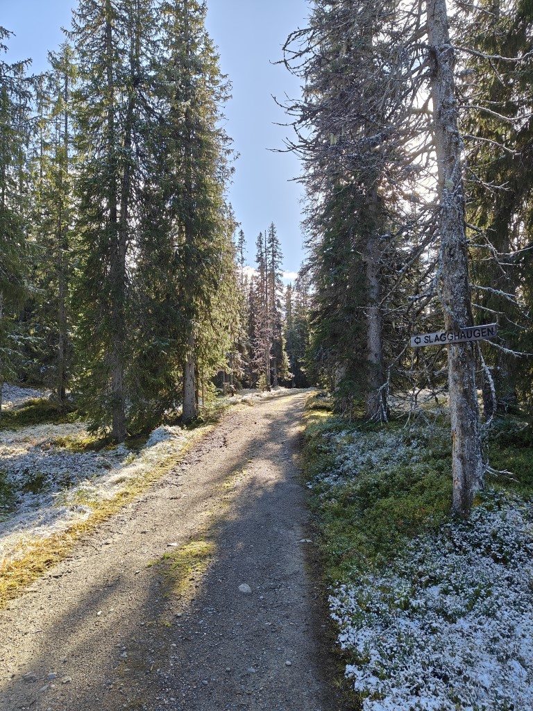
Snow started to appear.
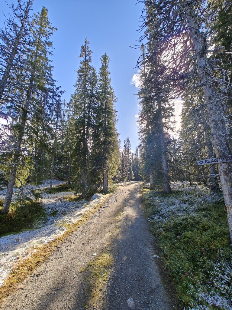
Sun did not manage to reach in between the trees to melt the snow.
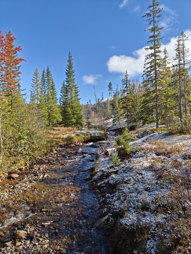
Small stream.

Snow came early to these plants.
Further up, the gravel road gave way to a hiking path, and the snow thickened with each step. The trail was just as steep as I remembered, but now with a colder bite to the air. Despite that, I worked up quite a sweat, and my heart rate was going strong.
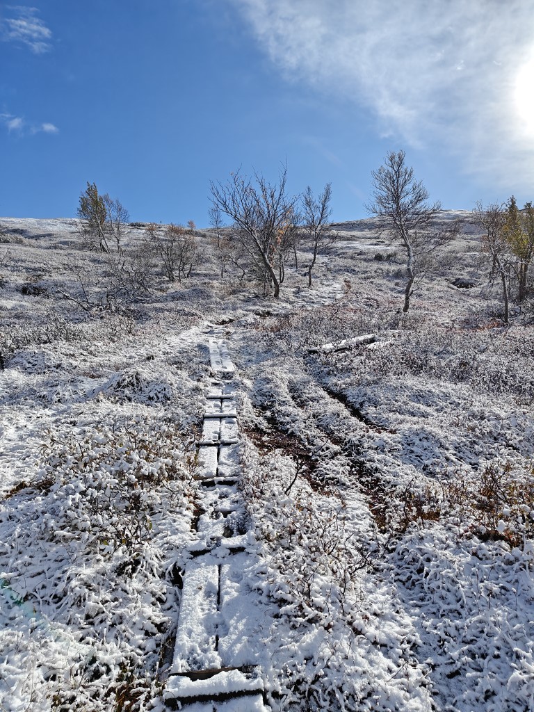
Snow was getting deeper the further up I went.
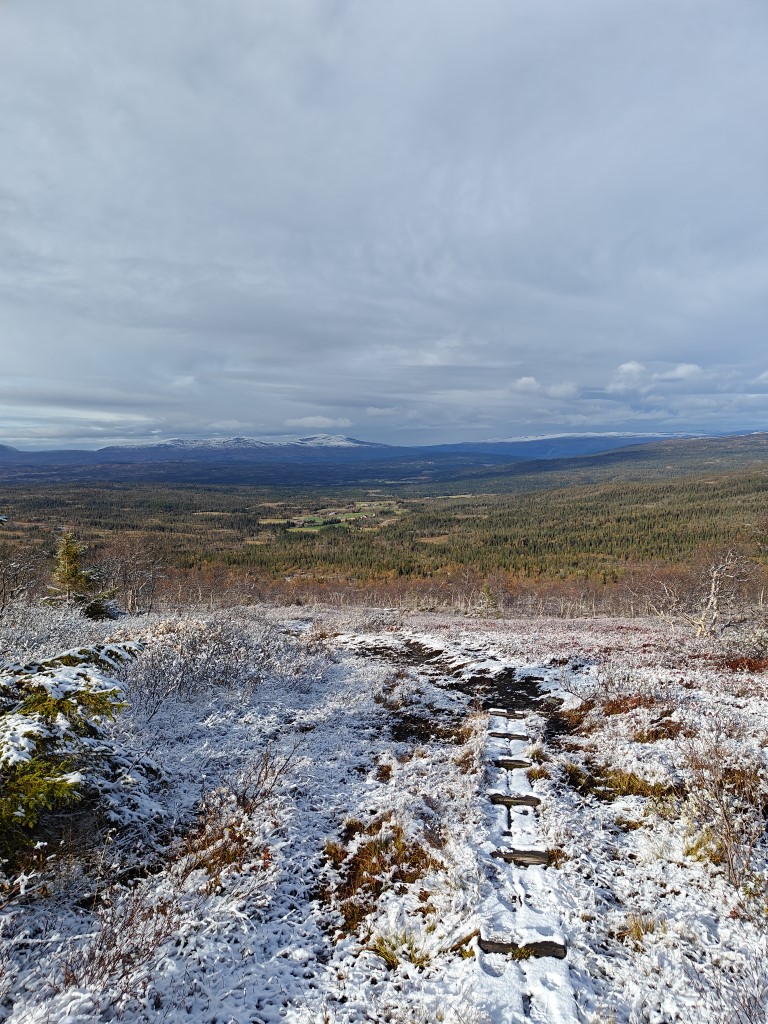
Looking back at where I started.
After about 45 minutes, I reached the spot where we had turned around last time. I rewarded myself with an energy bar and refilled my water bottle from a nearby stream. Then it was time to keep moving—up, up, up, into the snowy white rocks.
I kept a close eye on my map, feeling a sneaky suspicion that the summit might be less accessible than I’d originally thought. It looked like there were two summits—one was much easier to reach, but the other appeared taller and very steep. I didn’t want to get to the end of the path only to realize I couldn’t reach the true summit. But there was only one way to find out, and that was to keep putting one foot in front of the other. So I did, for another 45 minutes.
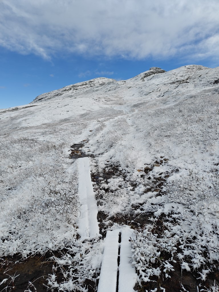
Soon enough, the wind started to affect me. My fleece sweater did nothing to block it, and despite working up a sweat, the cold wind cooled me down fast. Thankfully, I found the ruins of an abandoned cabin, whose walls provided just enough shelter for me to put on all my remaining clothes. I also used the blanket as a makeshift cape, and at that moment, I felt a bit like a member of the Fellowship of the Ring. However, I was no Legolas, that’s for sure.
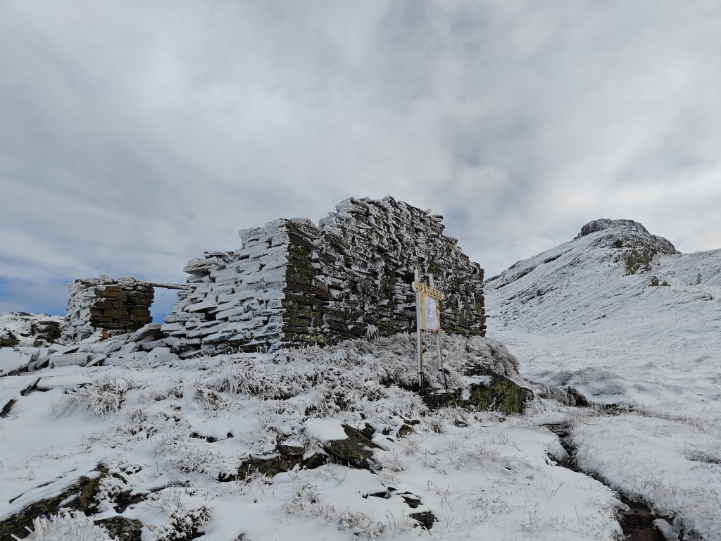
Ruins of an abandoned cabin gave shelter from the icy wind.

More a Gamgee than Legolas.
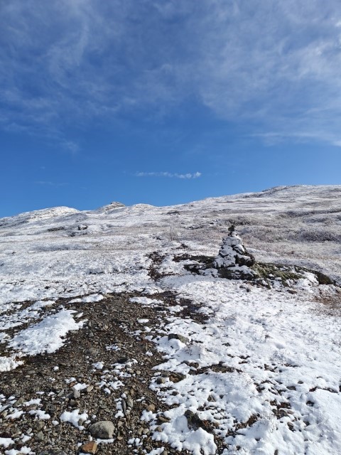
The path seemed to go between the two summits, up a pass. My mood lifted when I realized I’d likely be able to reach the highest point without needing to climb any icy rocks. Just as I posted my second YouTube short, I noticed a yellow-painted cairn marking the summit! The climb wasn’t steep at all, and soon I found myself at the highest point in the area. I cross-checked with my GPS—confirmed, I was there! It was time to set up the radio and antenna and get started.
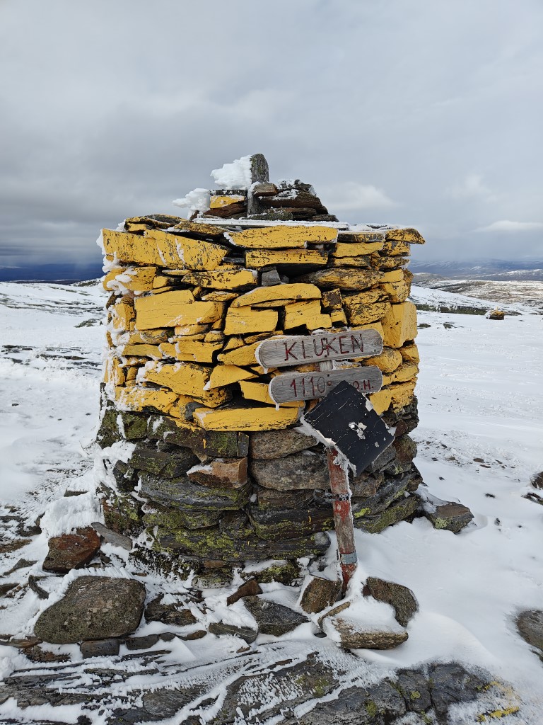
Finally reached the top!
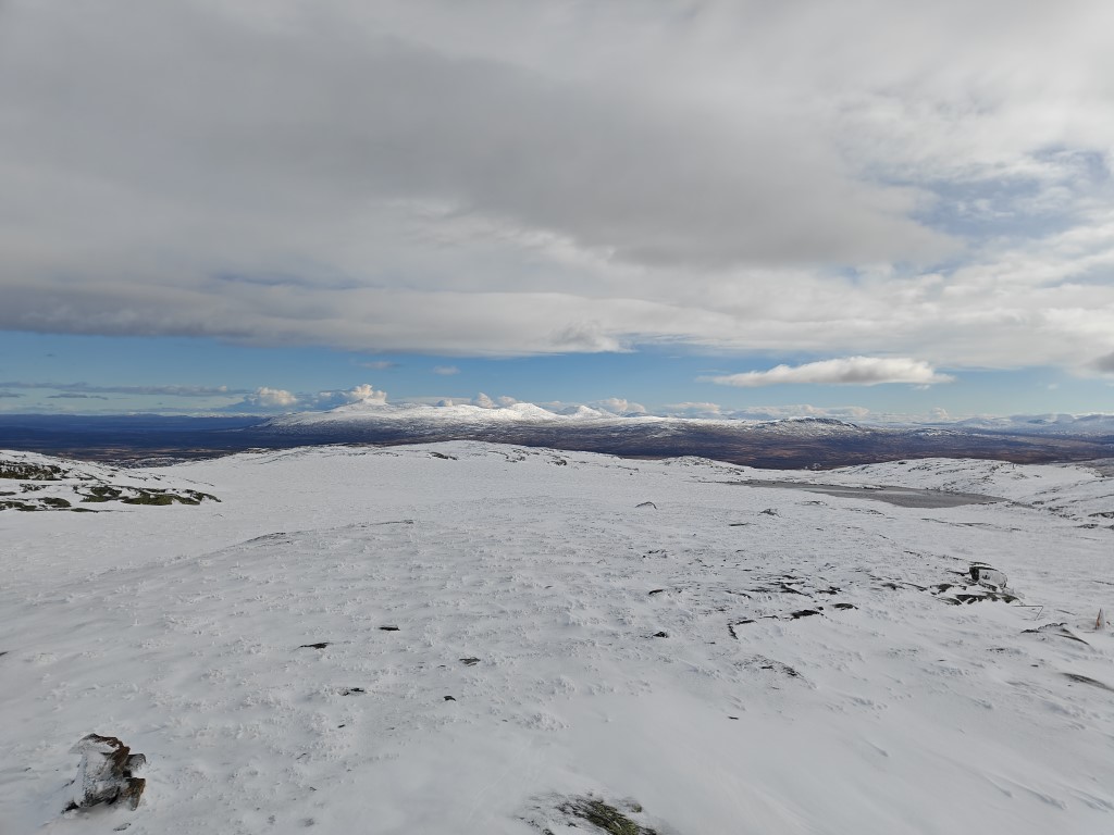
View into Sweden.
I unpacked my gear and began setting everything up. As I did, I noticed dark clouds approaching, and I knew I had limited time before I needed to start my descent to avoid getting caught in a snowstorm without my windbreaker. With renewed motivation, I worked quickly, but in my haste, I managed to tangle my counterpoise wires, which I had to sort out while my fingers went numb.
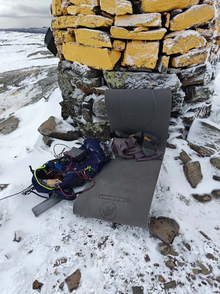
Found shelter from the wind.
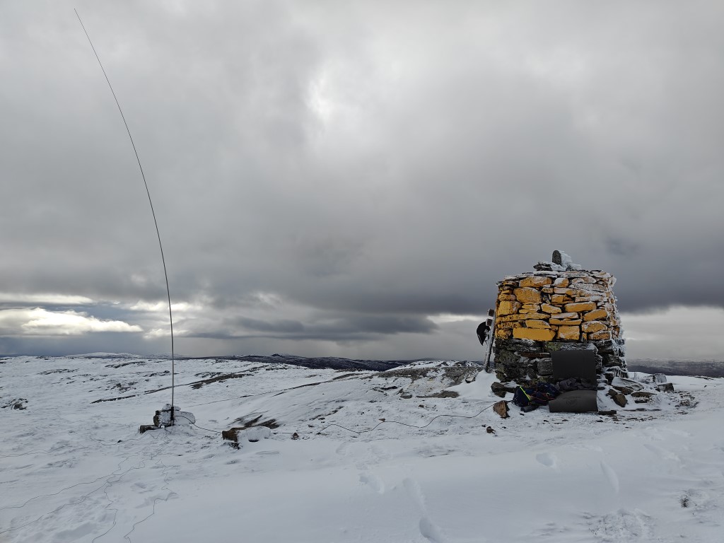
Wind bent the antenna quite a bit.
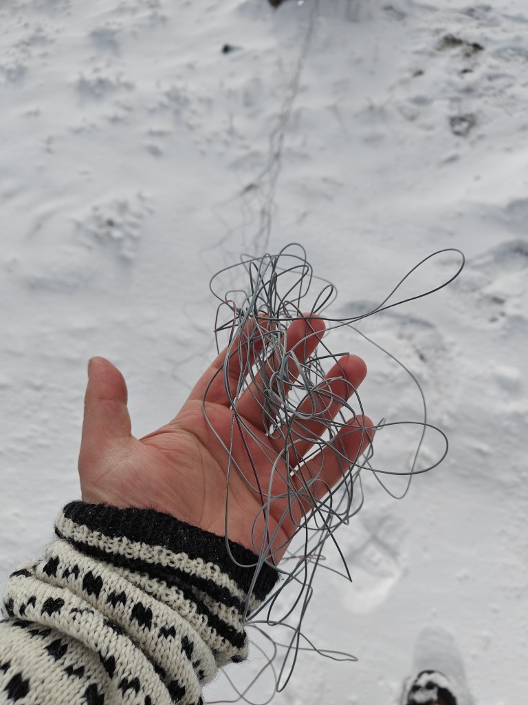
Of course the wires had to get tangled.
I checked the weather forecast—it was now -3°C. I positioned my backpack behind the cairn to get some protection from the icy wind. Then I tuned the antenna with my Xiegu G90 and hooked the power amplifier up to its batteries.
At that point, I realized I’d not only forgotten my windbreaker but also my pencil and paper! Fortunately, I had an app on my phone called HAMRS that I wanted to test, so that would have to do.
After a quick self-spot on SOTA Watch, I found myself managing a pileup. The app worked well, even verifying callsigns with QRZ.com, which helped ensure accuracy. The biggest challenge was typing on the on-screen keyboard with numb fingers.
Things went fairly smoothly, though I fumbled a bit due to the growing stress of those dark clouds moving in. Thankfully, everyone was patient and helped me through.
Unfortunately, I had to stop even though many people were still calling. I didn’t feel it was safe to continue, as I wanted to get off the summit before visibility dropped and conditions worsened. It felt rude to cut things short, but safety had to be the priority.
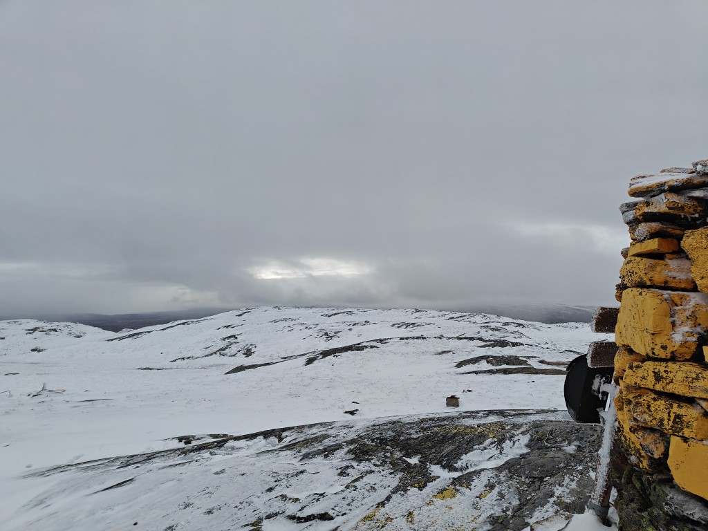
Bad weather moving in.
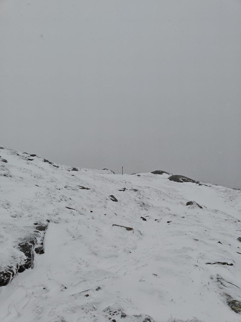
Visibility deteriorated quickly.
The descent went smoothly—I only slipped once, thankfully onto a patch without any sharp rocks. It took me about an hour and a half to get back to my car. Though going downhill is easier, it’s still no small feat and takes quite a bit of energy.
Now, I’m back in my warm house, writing this up after claiming another first activator badge and earning the 1 km ascent badge, as the summit was 1,100 meters tall.
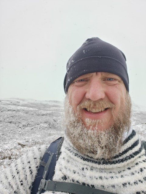
Thanks for reading, and QSO you later! 73